Kerlingarfjöll: Hveradalir Geothermal Loop
Hveradalir
Boardwalks through a steaming valley of orange and red hills in the heart of the highlands.
- Distance
- 3.5 km
- Loop
- Time
- 1–2 hours
- Ascent
- 150 m
- Max 1070 m
- Difficulty
- Moderate
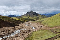
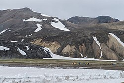
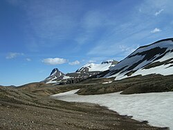
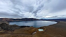
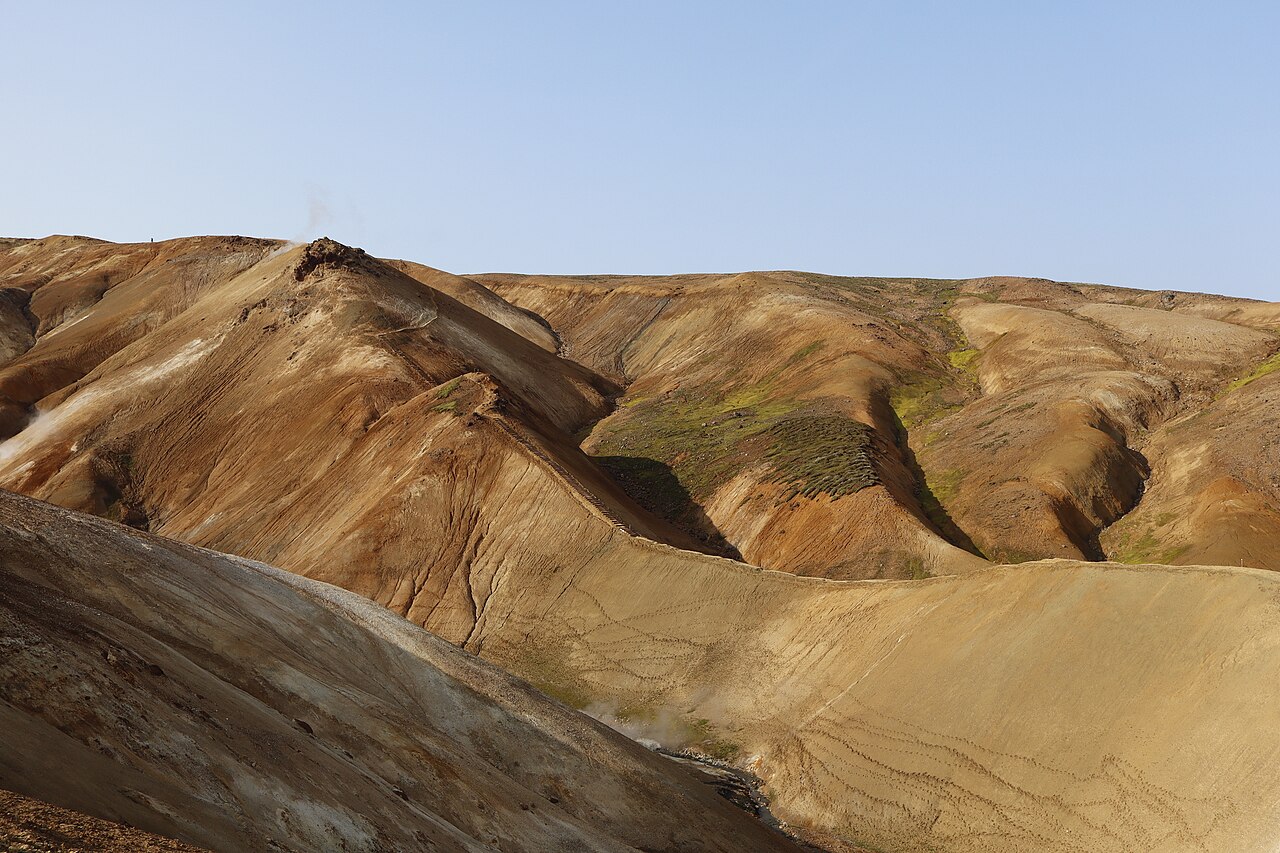
The Hveradalir Kerlingarfjoll loop is a short walk through one of the most colourful geothermal areas in Iceland. In the central highlands, between the Langjökull and Hofsjökull ice caps, the Kerlingarfjöll mountains rise in rhyolite slopes of orange, red and yellow, with snow patches lingering well into summer. Hveradalir, the Valley of Hot Springs, is the heart of the range: a steaming valley of vents, pools and mud pots, crossed by boardwalks.
This loop is about 3.5 km and takes one to two hours with around 150 m of ascent. It starts at the Hveradalir car park above the valley, descends via steps and paths into the geothermal area, and loops around the valley with views of the steaming slopes and the surrounding peaks. Paths are marked, and boardwalks protect both the ground and your feet in the hottest zones.
Kerlingarfjoll hiking goes well beyond this loop, from short walks to longer day hikes, multi-day circuits and the summit of Snækollur, the highest peak in the range. The area is a protected nature reserve, so staying on the paths matters for both safety and conservation. Combine this loop with a night at the mountain resort to make the long drive worthwhile.
Highlights
- Steaming vents and boiling pools in Hveradalir
- Rhyolite slopes in orange, red and yellow
- Snow patches lying right beside steaming ground
- Boardwalks through the heart of the geothermal area
The route
Car park down into the valley
From the Hveradalir car park, steps and a steep path lead down into the valley. The descent can be slippery when wet or snowy, but the view of steam rising from the coloured slopes is immediate and impressive. Take your time and keep to the path; the clay soils here are soft and easily damaged.
Loop through Hveradalir
Boardwalks and marked paths wind through the geothermal area past roaring vents, pools and mud pots. The trail then climbs the opposite side of the valley for a view over the whole area before returning to the car park. Stay on the paths at all times: the ground can be a thin crust over scalding water and mud.
Getting to the trailhead
Kerlingarfjöll is reached via the Kjölur highland road (F35) from Gullfoss, then the F347 road to the resort and on to the Hveradalir car park. These are F-roads, and you need a 4x4; rental agreements forbid 2WD cars on them. In some summers highland buses along Kjölur have stopped at Kerlingarfjöll, so check current schedules. Super jeep tours also visit the area.
Where to stay
Highland Base Kerlingarfjöll, the mountain resort in the valley below Hveradalir, offers hotel rooms, huts and a campsite. Book ahead, especially in July and August. Wild camping is not permitted in the nature reserve.
Best time to hike
The F-roads to Kerlingarfjöll usually open in late June or early July and close again in September, depending on snow. July and August are the best months, though snow patches linger all summer. Highland weather changes quickly, so be prepared for cold and wind even on bright days.
Safety
Stay on marked paths and boardwalks: geothermal ground can collapse into scalding water. The steep paths into the valley are slippery when wet or snowy. Highland weather changes fast, so bring warm, waterproof layers. Check road conditions on umferdin.is and the forecast on vedur.is, leave a travel plan at safetravel.is for longer hikes, and call 112 in an emergency.
Plan & book
Book your Kerlingarfjöll hike
 Huts & stays
Kerlingarfjöll Highland Base
Hotel rooms, huts and camping at the foot of the Kerlingarfjöll mountains.
Highland Base
Booking coming soonGuided tourHighland Super Jeep Tours
No 4x4? Modified super jeeps cross the rivers and F-roads for you, with short hikes on the way.
Licensed Icelandic operators1 day
Booking coming soonOnline booking is coming soon. Until then, use this list to see what to plan for this hike.
Kerlingarfjöll FAQ
How long is the Hveradalir loop?+
The loop is about 3.5 km and takes 1–2 hours, with around 150 m of ascent.
Can I drive to Kerlingarfjöll in a normal car?+
No. Kerlingarfjöll is reached via F-roads, which require a 4x4. Rental agreements forbid taking 2WD cars on F-roads.
What other Kerlingarfjöll hiking routes are there?+
Options include the summit of Snækollur, the highest peak in Kerlingarfjöll, plus longer day hikes and multi-day treks around the range. The resort has maps and up-to-date route information.
When can I visit Kerlingarfjöll?+
Usually from late June or early July to September, when the F-roads are open. Check road conditions on umferdin.is before travelling.
Hike it with a private guide
Guided trips with a licensed Icelandic guide, including transport and huts.
Private guide requests are coming soon
We are lining up licensed local guides. Check back soon to request a tailored quote for your trip.