Ásbyrgi: Eyjan Rock Island
Eyjan
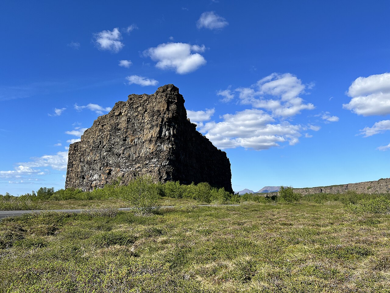
An easy 5 km walk along Eyjan, the rock island in the middle of the horseshoe-shaped Ásbyrgi canyon.
- Distance
- 5 km
- Out & back
- Time
- 1–1.5 hours
- Ascent
- 60 m
- Max 80 m
- Difficulty
- Easy
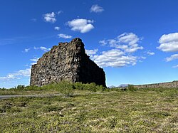
The Eyjan hike is an easy walk in Ásbyrgi, the huge horseshoe-shaped canyon in Vatnajökull National Park in North Iceland. Eyjan, 'the island', is a long rock ridge that rises in the middle of the canyon, and the trail follows its top to a viewpoint at the far end. The out-and-back route is about 5 km round trip with roughly 60 m of ascent and a high point near 80 m, and takes 1–1.5 hours.
Ásbyrgi was carved by catastrophic glacial floods, and its sheer walls rise up to 100 m on three sides. Legend says it is the hoofprint of Sleipnir, Odin's eight-legged horse. From the top of Eyjan you look down into the birch woods filling the canyon floor and across to the cliffs. The walk is short and easy, mostly level after a short climb, and a great introduction to the area.
Highlights
- Views over the horseshoe-shaped Ásbyrgi canyon
- Birch woodland on the canyon floor
- The sheer walls rising on three sides
- Easy access from the visitor centre
The route
To the top of Eyjan
From the trailhead near the Gljúfrastofa visitor centre and campsite, the path climbs a short slope onto Eyjan. Once on top the trail follows the crest of the ridge through heath, moss and birch scrub, gently rising and falling. The canyon walls come into view on both sides almost immediately, and the path is clear and easy to follow.
To the viewpoint and back
The path continues to a viewpoint at the inner end of Eyjan, looking deep into the horseshoe of the canyon with cliffs curving around on three sides. It is a good spot to sit and listen to the fulmars on the walls. Return the same way. The going is easy throughout, though the edges of the ridge are unfenced.
Getting to the trailhead
Ásbyrgi is on Route 85, between Húsavík and Kópasker in North Iceland. The Gljúfrastofa visitor centre is at the mouth of the canyon, near the trailhead. There is parking at the visitor centre. Route 862 also connects Ásbyrgi with Dettifoss.
Where to stay
There is a large campsite in Ásbyrgi, run by the national park, and a shop at the nearby fuel station in summer. Húsavík, about an hour's drive west, has plenty of accommodation and is known for whale watching.
Best time to hike
May to October is the season. Summer is busiest, but the trail is rarely crowded. September brings autumn colours to the birch woods. In winter the area is quieter, and the path may be snowy.
Safety
This is a low-risk walk, but the cliff edges along Eyjan are unfenced and the rock can be loose near the rim, so keep children close and stay on the path. In wet weather the path can be slippery. Moss and birch on the ridge are fragile, so do not take shortcuts. Check SafeTravel.is for conditions and call 112 in an emergency.
Plan & book
Book your Ásbyrgi hike
 Camping
Ásbyrgi & Vesturdalur Campsites
National park campsites in Jökulsárgljúfur canyon.
Vatnajökull National Park
Guided tourDiamond Circle & Canyon Tours
Dettifoss, Ásbyrgi and Mývatn from Akureyri or Húsavík.
North Iceland operators1 day
Online booking opens soon. Press any button to get notified when it does.
Ásbyrgi FAQ
How long is the Eyjan hike in Ásbyrgi?+
It is about 5 km round trip with roughly 60 m of ascent, taking 1–1.5 hours.
Is the Ásbyrgi hike easy?+
Yes, the walk on Eyjan is easy, with only a short climb at the start.
What other hikes are there in Ásbyrgi?+
There are short walks on the canyon floor to a small pond at the head of the canyon, and longer trails along the rim and north toward Vesturdalur and Dettifoss.
Hike it with a private guide
Guided trips with a licensed Icelandic guide, including transport and huts.
Private guide requests are coming soon
We are lining up licensed local guides. Sign up and we will let you know as soon as you can request a tailored quote.