Hellismannaleið Trail
Hellismannaleið
A quieter 54 km hut-to-hut trek to Landmannalaugar across the colourful Fjallabak highlands north of Hekla.
- Distance
- 54 km
- Point to point
- Time
- 3–4 days
- Ascent
- 1600 m
- Max 810 m
- Difficulty
- Challenging
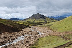
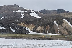
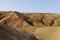
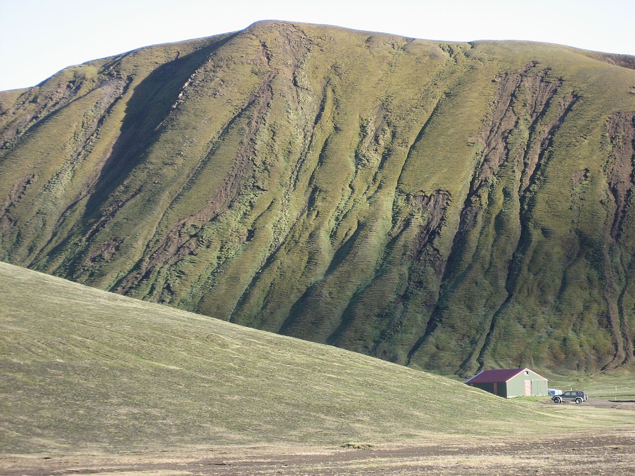
The Hellismannaleið trail is a multi-day trek in Iceland's southern highlands that ends at Landmannalaugar, the same colourful geothermal basin where the Laugavegur begins. The route is 54 km point to point, takes 3–4 days and involves around 1,600 m of ascent, with a highest point of about 810 m. It crosses sandy plains, lava fields, river valleys and rhyolite hills with Hekla dominating the view for much of the way.
It sees far fewer walkers than the Laugavegur, which is a large part of its appeal. The route is marked, and the usual overnight stops are huts at Áfangagil and Landmannahellir, starting from Rjúpnavellir in the lowlands near Landvegur. Facilities are basic and the terrain is remote, so this suits hikers who are comfortable with highland weather and some navigation. Book huts ahead and confirm current arrangements before you go.
Highlights
- Constant views of Hekla, one of Iceland's most active volcanoes
- Far quieter than the Laugavegur
- Lava fields, black sands and green river valleys
- Finishing among the rhyolite mountains and hot spring of Landmannalaugar
Hellismannaleið Trail itinerary
Day 1: Rjúpnavellir to Áfangagil
The trek begins in the lowland edge of the highlands and heads north-east across sandy, sparsely vegetated plains and lava with Hekla to the south-east. The terrain is mostly gentle, but the open country is exposed to wind and blowing sand. This first leg is long, so start early and carry plenty of water, as streams can be scarce.
Day 2: Áfangagil to Landmannahellir
The landscape gets more varied as the route climbs into hillier country, passing lava edges, small lakes and green pockets beneath rugged peaks. There is more up and down than on day one. Landmannahellir sits in a grassy valley among mountains and is a good place to rest; nearby peaks like Löðmundur make tempting extra climbs for a fourth day.
Day 3: Landmannahellir to Landmannalaugar
The final leg crosses rhyolite hills and valleys with increasingly vivid colours as you approach Fjallabak's best-known area. Expect several climbs and descents and some stream crossings. The trail drops into Landmannalaugar, where you can soak in the natural hot spring before catching a highland bus out or continuing onto the Laugavegur.
Getting to the trailhead
The trek starts near Rjúpnavellir, reached via Landvegur (Route 26) north from Route 1 near Hella. It ends at Landmannalaugar, which can only be reached by highland bus or a proper 4x4 on F-roads with river crossings. Most hikers arrange a drop-off at the start and take a summer highland bus back to Reykjavík from Landmannalaugar. Check road.is and current bus schedules before planning.
Where to stay
Huts at Rjúpnavellir, Áfangagil and Landmannahellir serve the route, and Landmannalaugar has an FÍ hut and campsite. Huts are small and fill up in peak season, so book well ahead and bring a sleeping bag. Camping is generally allowed only at designated sites near the huts.
Best time to hike
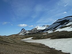
The season is July to September, when the highland roads are open and most snow has melted. July and August are the most dependable months. Early July can still bring snow patches and high streams; September is quieter but colder, with a higher chance of storms and early snow.
Safety
This is a remote highland route with limited phone signal and few other walkers. Weather can switch to wind, rain, fog or sandstorms quickly, and snow is possible even in summer. Stream crossings can rise after rain or on warm afternoons. Carry full waterproofs, warm layers, a map and GPS, and enough food. Leave a travel plan at SafeTravel.is and call 112 in an emergency.
Plan & book
Book your Hellismannaleið Trail hike
 Huts & stays
Mountain Huts (Ferðafélag Íslands)
Book bunks in the Laugavegur and highland huts. Summer dates sell out months ahead.
Ferðafélag Íslands (FÍ)
Guided tourHighland Super Jeep Tours
No 4x4? Modified super jeeps cross the rivers and F-roads for you, with short hikes on the way.
Licensed Icelandic operators1 day
Trek packageMulti-Day Trekking Packages
Guided or self-guided packages: huts, luggage transfers, meals and transport, all arranged for you.
Licensed Icelandic operators3–10 days
Gear rentalHiking & Camping Gear Rental in Reykjavík
Rent tents, sleeping bags, stoves, poles and microspikes instead of flying them over.
Reykjavík outfitters
Online booking opens soon. Press any button to get notified when it does.
Hellismannaleið Trail FAQ
How long is the Hellismannaleið trail?+
The trail is 54 km point to point with around 1,600 m of ascent, usually walked in 3–4 days.
Is Hellismannaleið harder than the Laugavegur?+
It is comparable in effort but more remote and less busy, with fewer facilities and less trail traffic. That makes self-reliance and navigation more important.
Can you combine Hellismannaleið with the Laugavegur?+
Yes. Because Hellismannaleið ends at Landmannalaugar, you can continue onto the Laugavegur towards Þórsmörk for a much longer highland traverse.
Do you need a 4x4 to reach the end of the trail?+
Landmannalaugar is reached on F-roads with river crossings, so you need a proper 4x4 or a highland bus. Most trekkers use the bus.
Hike it with a private guide
Guided trips with a licensed Icelandic guide, including transport and huts.
Private guide requests are coming soon
We are lining up licensed local guides. Sign up and we will let you know as soon as you can request a tailored quote.