Kaldbakur
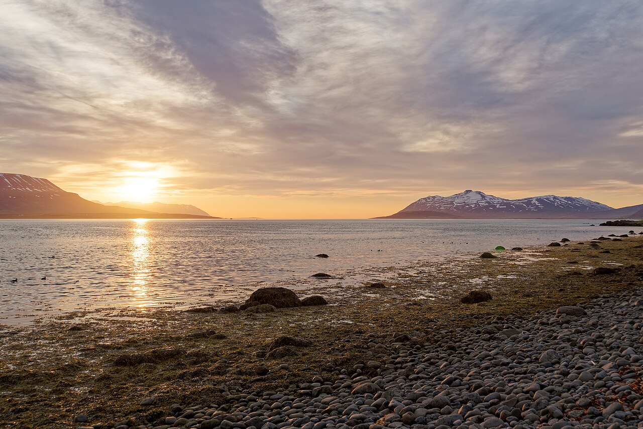
A steep 12 km round trip up Kaldbakur, the 1,173 m peak above Grenivík with views over all of Eyjafjörður.
- Distance
- 12 km
- Out & back
- Time
- 4.5–6 hours
- Ascent
- 1100 m
- Max 1173 m
- Difficulty
- Challenging
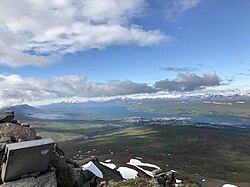
The Kaldbakur hike climbs one of the highest mountains on the east side of Eyjafjörður in North Iceland, rising above the village of Grenivík. The out-and-back route is about 12 km round trip with roughly 1,100 m of ascent, reaching a high point near 1,173 m, and takes 4.5–6 hours. From the top there are views over the whole of Eyjafjörður, the island of Hrísey, the Tröllaskagi peninsula and out to the Arctic Ocean.
Kaldbakur is a big, steady climb, rated challenging because of the sustained ascent and the loose, rocky ground higher up. There is no technical climbing on the standard route, but you need good fitness, proper boots and a settled weather day. Snow often lingers on the upper slopes well into summer, so the hiking season is short. It is far quieter than Súlur above Akureyri, and on a clear day the summit view is one of the best in the north.
Highlights
- Panoramic views over Eyjafjörður and Hrísey
- Views across the Tröllaskagi peninsula
- A big, rewarding mountain climb
- Quiet compared with Súlur above Akureyri
The route
Lower slopes
From the marked trailhead north of Grenivík on Látrastrandarvegur, the route climbs over grassy and heathy slopes, gaining height steadily with few breaks. The path is mostly easy to follow, though wet and boggy in places, especially early in summer. Views over Eyjafjörður and Hrísey open up quickly behind you, which makes the steady pull easier to enjoy.
Upper mountain to the summit
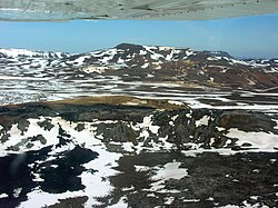
Higher up the slope steepens and the ground turns to loose rock and scree. Snow patches are common into July. The summit, at 1,173 m, gives views in every direction. Return the same way, taking care on the steep, loose descent.
Getting to the trailhead
Kaldbakur rises on the east side of Eyjafjörður, above the village of Grenivík. From Akureyri, take Route 1 east, then turn north onto Route 83 to Grenivík, about 40 minutes' drive in total. The trailhead is north of the village. There is no regular public transport to Grenivík that suits a day hike, so a car is needed. Check road.is before driving.
Where to stay
Grenivík is a small village with limited accommodation, including a campsite, a swimming pool and a shop. Akureyri, about 40 minutes away, has a wide range of hotels, guesthouses, restaurants and supermarkets and makes the most convenient base.
Best time to hike
July to September is the season, when the upper slopes are usually clear of deep snow. In June the top often has significant snow. August is typically the most reliable month.
Safety
Kaldbakur is a high mountain, and weather on top can be much colder and windier than below. Fog can roll in quickly. Snow patches on the upper slopes may be icy; turn back rather than cross steep snow without proper gear. Bring warm layers, food and water, check vedur.is and SafeTravel.is, and call 112 in an emergency.
Plan & book
Book your Kaldbakur hike
 Camping
Ásbyrgi & Vesturdalur Campsites
National park campsites in Jökulsárgljúfur canyon.
Vatnajökull National Park
Guided tourDiamond Circle & Canyon Tours
Dettifoss, Ásbyrgi and Mývatn from Akureyri or Húsavík.
North Iceland operators1 day
Online booking opens soon. Press any button to get notified when it does.
Kaldbakur FAQ
How long does it take to hike Kaldbakur?+
Most hikers take 4.5–6 hours for the 12 km round trip, which has about 1,100 m of ascent.
Is the Kaldbakur hike hard?+
Yes, it is rated challenging because of the long, steep climb and loose ground near the top.
Can you hike Kaldbakur in winter?+
Only with winter mountaineering experience and gear. For a normal hike, go between July and September.
Hike it with a private guide
Guided trips with a licensed Icelandic guide, including transport and huts.
Private guide requests are coming soon
We are lining up licensed local guides. Sign up and we will let you know as soon as you can request a tailored quote.