Þakgil: Remundargil Canyon
Remundargil
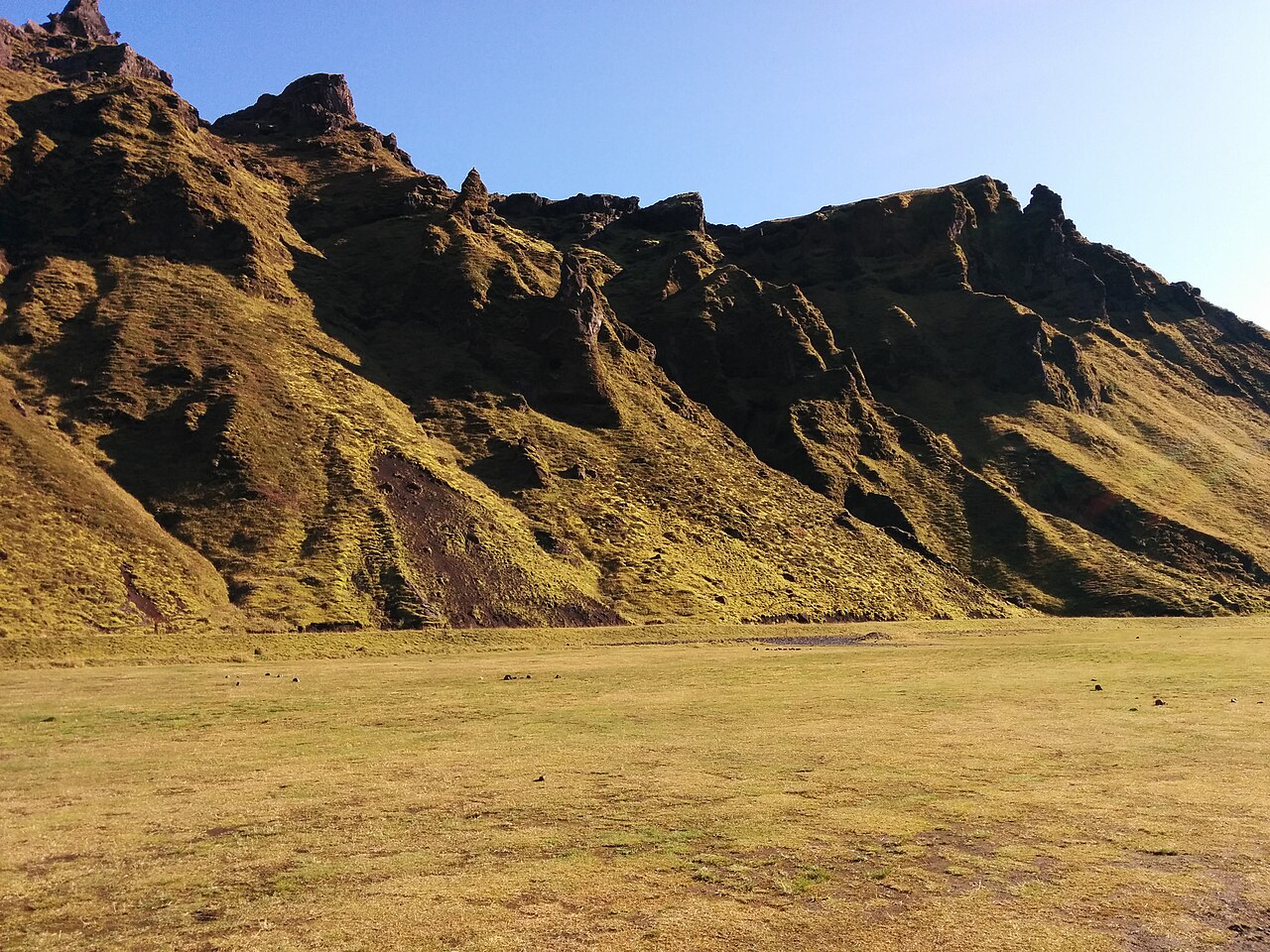
A moderate loop from the Þakgil campsite through green, sculpted ravines to the Remundargil canyon with views toward Mýrdalsjökull.
- Distance
- 11 km
- Loop
- Time
- 3.5–4.5 hours
- Ascent
- 600 m
- Max 400 m
- Difficulty
- Moderate
The Remundargil loop is a moderate and very scenic hike from Þakgil, a sheltered valley tucked into the mountains north of Vík in South Iceland. The measured route is an 11 km loop that takes 3.5–4.5 hours, with about 600 m of total ascent and a high point of roughly 400 m. It follows clear paths, but the landscape of moss-covered ridges and deep ravines feels remote and dramatic.
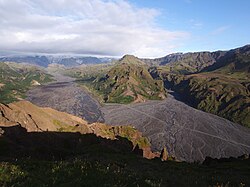
The trail leads to Remundargil, a narrow canyon with steep walls and a waterfall, and on the way offers views of the Kötlujökull outlet glacier and the edge of Mýrdalsjökull. Þakgil itself is a popular campsite surrounded by green cliffs and eroded tuff formations. It is a great alternative to the busier sights along Route 1. Allow extra time for photos at the canyon viewpoints.
Highlights
- The narrow Remundargil canyon and its waterfall
- Views toward Kötlujökull and Mýrdalsjökull
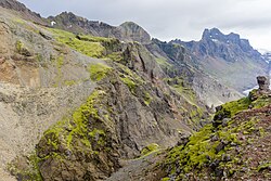
- Green, sculpted ridges and ravines around Þakgil
- A quiet setting just a short drive from Vík
The route
Þakgil to the ridge
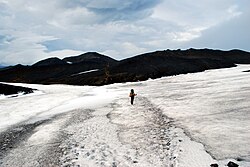
From the Þakgil campsite area, the route climbs onto the grassy ridges above the valley. The path is clear and the gradient steady. As you gain height, views open across the eroded slopes and, on clear days, toward the ice of Mýrdalsjökull. Moss and grass cover much of the ground; stay on the path.
Remundargil canyon
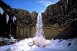
The trail reaches the edge of Remundargil, a deep, narrow ravine with a waterfall at its head. Viewpoints along the rim show the canyon's steep walls. Keep well back from the edge, which is unfenced and can be crumbly. The views back toward the glacier are a highlight.
Loop back to Þakgil
The loop continues around and down through the ravines back to the campsite. The descent is gentle, with a few steeper sections that can be slippery after rain. The return gives a different perspective on the green cliffs that enclose Þakgil.
Getting to the trailhead
Þakgil is reached by road 214, a gravel road that leaves Route 1 east of Vík and runs north into the mountains for around 15 km. The road is usually passable for ordinary cars in summer when dry, but it is narrow, steep in places and can have small fords. Check conditions locally and on road.is before setting out.
Where to stay
The Þakgil campsite at the trailhead is the obvious base and is popular in summer; check current opening and facilities with the operator. Otherwise, Vík has hotels, guesthouses, a campsite, restaurants and a supermarket, about half an hour's drive away.
Best time to hike
May to October is the best period, when road 214 is usually open and the trails are free of snow. Summer brings the greenest landscape and long days. In spring and autumn, conditions can be wet and muddy, and the road may close temporarily after heavy rain or snow.
Safety
The trail is clear, but the canyon rims are steep and unfenced, so keep children close and stay back from the edge. Paths can be slippery after rain. Weather near Mýrdalsjökull changes quickly, and fog is common. The access road may be affected by rain or snow. In an emergency call 112, and check SafeTravel.is before setting off.
Plan & book
Book your Þakgil hike
 Camping
South Iceland Campsites
Campsites from Þakgil to Vík and Skógar.
Tjalda.is directory
Booking coming soonGuided tourSouth Coast Tours
Seljalandsfoss, Skógafoss, Vík and the glacier lagoon. Multi-day versions reach Skaftafell.
Licensed Icelandic operators1–3 days
Booking coming soonGlacier hikeSólheimajökull Glacier Hike
The most accessible glacier hike in Iceland, 2.5 hours from Reykjavík near Vík.
Certified glacier guides3 hours (or day trip)
Booking coming soonOnline booking is coming soon. Until then, use this list to see what to plan for this hike.
Þakgil FAQ
How long is the Remundargil hike?+
The measured loop is 11 km with about 600 m of ascent, taking around 3.5–4.5 hours.
Can you drive to Þakgil in a regular car?+
Usually yes in summer, as road 214 is a gravel road rather than an F-road, but it is narrow and can have small fords. Check conditions before you go.
Is the Remundargil trail suitable for families?+
Yes, for children used to longer walks; it is rated moderate. Just keep them away from the unfenced canyon edges.
Hike it with a private guide
Guided trips with a licensed Icelandic guide, including transport and huts.
Private guide requests are coming soon
We are lining up licensed local guides. Check back soon to request a tailored quote for your trip.