Skaftafell: Kristínartindar Loop
Kristínartindar
The best day hike in Vatnajökull National Park: a summit between two outlet glaciers.
- Distance
- 18 km
- Loop
- Time
- 6–8 hours
- Ascent
- 1150 m
- Max 1126 m
- Difficulty
- Challenging
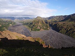
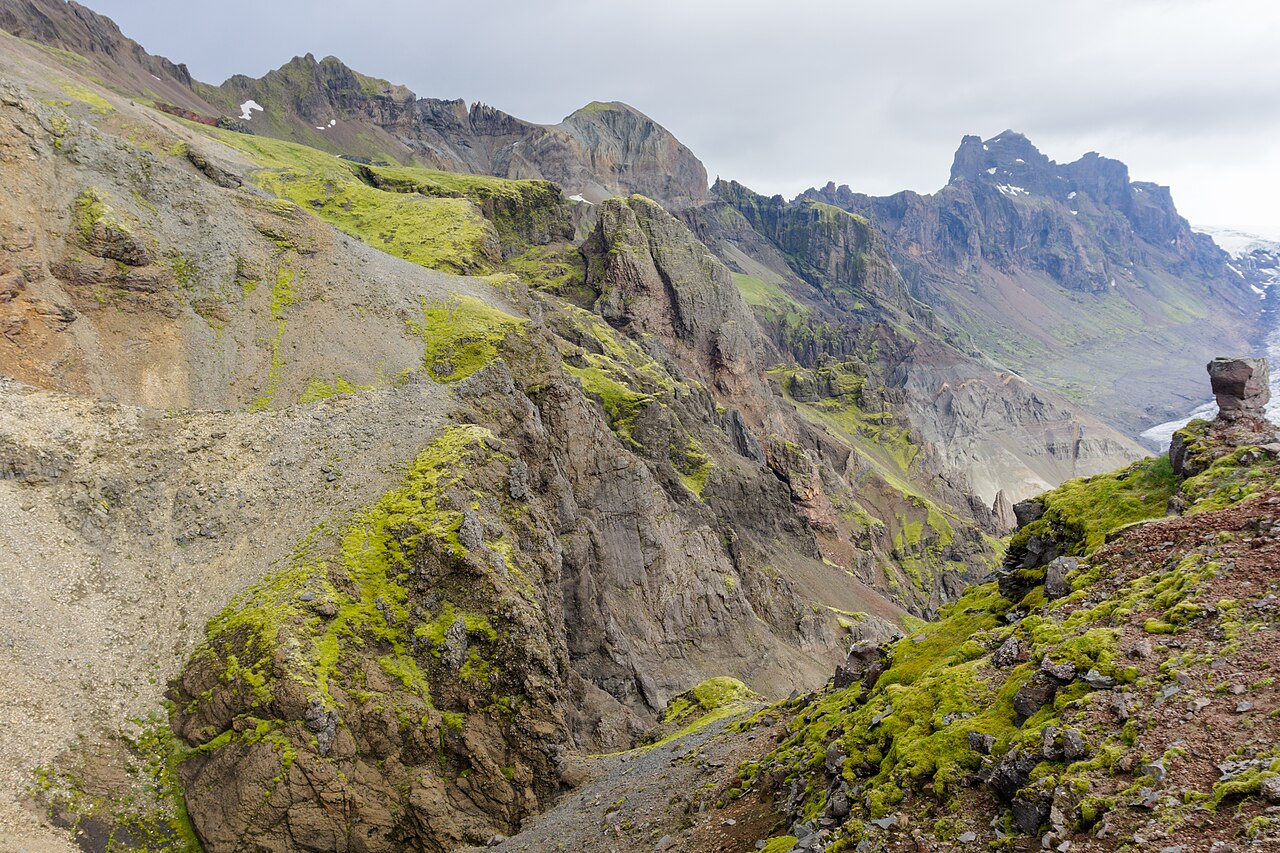
Among Skaftafell hiking trails, the Kristínartindar loop is the big one: an 18 km circuit to a 1,126 m summit between two outlet glaciers of Vatnajökull, the largest ice cap in Iceland. From the top you look down on the crevassed tongues of Skaftafellsjökull and Morsárjökull, across to Hvannadalshnúkur, the country's highest peak, and out over the black outwash plains of Skeiðarársandur to the Atlantic.
The loop starts at the Skaftafell visitor centre in Vatnajökull National Park and takes six to eight hours with around 1,150 m of ascent. The lower part shares the path to Svartifoss, the middle section crosses the open heath of Skaftafellsheiði, and the final climb to the summit is steep and rocky. The return via Sjónarnípa gives a superb view straight down onto Skaftafellsjökull.
It is one of the best day hikes in the country, but it is a proper mountain day rather than a walk. Save it for a clear, calm day, because in cloud the summit view simply disappears. Carry layers, waterproofs, food and plenty of water, and be ready to settle for the lower viewpoints if the top is in fog or the wind picks up on the exposed upper ridge.
Highlights
- Summit views over two glaciers and Hvannadalshnúkur
- Svartifoss and its basalt columns on the way up
- The Sjónarnípa viewpoint above Skaftafellsjökull
- Wide-open heathland with views to the coast
- Far quieter than the short Skaftafell trails
The route
Visitor centre to Svartifoss and the heath
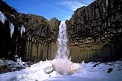
Start on the busy path from the visitor centre past Hundafoss and Magnúsarfoss to Svartifoss, with its black basalt columns. From there the crowds thin out as the trail climbs onto the heath of Skaftafellsheiði, heading north towards the mountains. This section is well marked and steadily graded, with growing views over the plains and the edge of Morsárdalur.
The climb to Kristínartindar
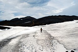
The trail climbs to the base of the peak, then the final ascent becomes steep, loose and rocky, with some easy hands-on sections and exposure near the top. The summit at 1,126 m gives the classic double-glacier panorama. In cloud, strong wind or snow this last section is not worth the risk; turn back and enjoy the views from the heath instead.
Down to Sjónarnípa and back
After descending from the summit, the loop returns across the heath to Sjónarnípa, a cliff-top viewpoint looking straight down onto the crevassed ice of Skaftafellsjökull and across to the peaks of Öræfi. From here the trail heads south through birch woods back to the visitor centre. The last kilometres are easy going, but loose gravel on the steeper parts is slippery on tired legs.
Getting to the trailhead
Skaftafell is on the Ring Road in southeast Iceland, around four and a half hours' drive from Reykjavík and roughly 50 minutes west of Jökulsárlón. There is a large car park at the visitor centre, where a national park parking fee applies. Public buses along the south coast typically stop at Skaftafell in summer, and many south coast tours visit the park. No 4x4 is needed.
Where to stay
The large Skaftafell campsite beside the visitor centre is the most convenient base, with showers and space for tents and campervans. Hotels and guesthouses are found a short drive away at Freysnes, Svínafell and Hof. Wild camping is not allowed in the national park.
Best time to hike
The summit is usually snow-free enough for normal hiking gear from late June to September; early in the season there can still be snow and ice on the upper slopes, and the national park often closes the trail during the spring thaw, sometimes into June, so check before you go. July and August offer the most settled weather and long daylight, which gives you plenty of margin for a long day. The visitor centre area is busy all summer, but the Kristínartindar trail is far quieter than the paths to Svartifoss.
Safety
The final summit section is steep, loose and exposed; turn back in strong wind, rain, snow or poor visibility. Summit weather can be much colder and windier than at the visitor centre. Carry enough water for the day, as there is little on the upper route. Check vedur.is, leave a travel plan at safetravel.is, and never step onto the glaciers without a guide and proper equipment. Call 112 in an emergency.
Plan & book
Book your Skaftafell hike
 Camping
Skaftafell Campsite
The campsite right at the Svartifoss and Kristínartindar trailheads.
Vatnajökull National Park
Booking coming soonGlacier hikeGlacier Hike in Skaftafell
Crampons, ice axe and helmet on a Vatnajökull outlet glacier. A certified guide is required on glaciers.
Certified glacier guides3–5 hours
Booking coming soonGuided tourSouth Coast Tours
Seljalandsfoss, Skógafoss, Vík and the glacier lagoon. Multi-day versions reach Skaftafell.
Licensed Icelandic operators1–3 days
Booking coming soonOnline booking is coming soon. Until then, use this list to see what to plan for this hike.
Skaftafell FAQ
What are the best Skaftafell hiking trails?+
For a short walk, the Svartifoss loop. For a half day, the walk to Sjónarnípa above Skaftafellsjökull. For a full day, the Kristínartindar loop is the classic, with summit views over two glaciers. There is also an easy, flat walk from the visitor centre towards the snout of Skaftafellsjökull.
How long does the Kristínartindar hike take?+
Most hikers take 6–8 hours for the 18 km loop with about 1,150 m of ascent. Allow longer if you want to linger at the viewpoints.
Is the Kristínartindar hike difficult?+
Yes, it is challenging. Most of the route is a steady climb on good paths, but the final ascent is steep, loose and exposed. You need good fitness, sure footing and a head for heights.
Can I hike Kristínartindar in winter?+
Only with winter mountaineering equipment and experience. Snow and ice make the summit section dangerous. In winter, stick to the lower trails or join a guided glacier hike instead.
Hike it with a private guide
Guided trips with a licensed Icelandic guide, including transport and huts.
Private guide requests are coming soon
We are lining up licensed local guides. Check back soon to request a tailored quote for your trip.