Sveinstindur & Langisjór
Sveinstindur
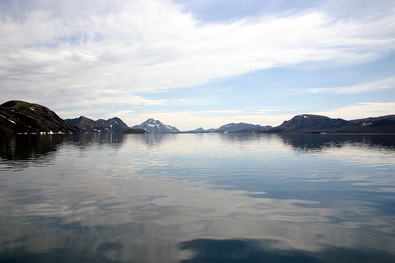
Climb above the turquoise lake Langisjór to a summit at about 1,089 m with views of Vatnajökull and the Fögrufjöll ridges.
- Distance
- 3.5 km
- Out & back
- Time
- 1.5–2 hours
- Ascent
- 400 m
- Max 1089 m
- Difficulty
- Challenging
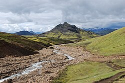
The Sveinstindur hike climbs the peak at the southern end of Langisjór, one of the most beautiful and remote lakes in the Iceland highlands. The measured route is 3.5 km out and back, takes 1.5–2 hours (allow longer with breaks) and involves around 400 m of total ascent to a high point of roughly 1,089 m. It is short but challenging, on rough, steep ground, and the reward is one of the finest viewpoints in the southern highlands.
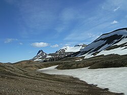
From the top you look straight down the long, blue-green lake, framed by the moss-covered Fögrufjöll ridges and the white edge of Vatnajökull beyond. To the other side the views reach the Skaftá river system, Lakagígar and the Fjallabak mountains. Getting here takes real effort, but on a clear day the remoteness and colour make it unforgettable. Few visitors make the trip, so you may have the summit to yourself.
Highlights
- Bird's-eye views along the length of Langisjór
- Vatnajökull and the green Fögrufjöll ridges on the horizon
- A genuinely remote highland setting with few other people
- Moss, black sand and blue water in striking contrast
The route
Car park to the lower slopes
From the car park on the west side of the mountain, follow the path east across gravel and moss toward the base of Sveinstindur. The ground is open, so navigation is easy in clear weather. The climbing starts almost at once and soon becomes steep and sustained as the route heads up the flank of the mountain.
Summit climb and return
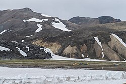
The upper part is steep and loose in places, with scree and rocky steps, and there can be snow in early summer. Take it steadily. The summit area at around 1,089 m opens up the full view along Langisjór and toward Vatnajökull. Return the same way, taking care on the loose gravel on the descent.
Getting to the trailhead
Langisjór is reached by highland roads branching from F208 (Fjallabaksleið nyrðri), with the final approach on F235. A 4x4 is required, the roads are rough, and there may be river crossings along the way. Allow plenty of time, as the drive is long and slow. Roads open only in summer, so check road.is for opening dates and current conditions before setting out.
Where to stay
Útivist runs a mountain hut near the mountain, Skálinn við Sveinstind, with room for about 22 people, and there is a campground and information point at Langisjór. Otherwise there is very little in the area, so most visitors drive in from a base on the south coast around Kirkjubæjarklaustur or from the Landmannalaugar side of F208. Facilities in the highlands are basic and seasonal; carry food, water and fuel, and check what is open before you rely on it.
Best time to hike
The season is July to September, when the highland roads are usually open and most snow has melted. Early July may still have snow on the upper slopes and higher rivers. Choose a clear day: cloud on the summit removes the view that makes the effort worthwhile, and fog makes navigation harder.
Safety
This is remote country with limited mobile coverage and long distances to help. Leave a travel plan with SafeTravel.is, carry navigation, warm and waterproof layers, and enough food and water. The upper slopes are steep and loose; watch your footing on descent. Highland rivers on the access roads rise after rain or warm weather. In an emergency call 112.
Plan & book
Book your Sveinstindur & Langisjór hike
 Huts & stays
Mountain Huts (Ferðafélag Íslands)
Book bunks in the Laugavegur and highland huts. Summer dates sell out months ahead.
Ferðafélag Íslands (FÍ)
Guided tourHighland Super Jeep Tours
No 4x4? Modified super jeeps cross the rivers and F-roads for you, with short hikes on the way.
Licensed Icelandic operators1 day
Gear rentalHiking & Camping Gear Rental in Reykjavík
Rent tents, sleeping bags, stoves, poles and microspikes instead of flying them over.
Reykjavík outfitters
Online booking opens soon. Press any button to get notified when it does.
Sveinstindur & Langisjór FAQ
How long is the Sveinstindur hike?+
The measured route is 3.5 km out and back with about 400 m of ascent, and takes around 1.5–2 hours. Allow longer with breaks.
Do I need a 4x4 to reach Langisjór?+
Yes. Access is via highland F-roads off F208, ending on F235, and a 4x4 is required. Check road.is before you go.
Is Sveinstindur difficult?+
It is rated challenging. The distance is short, but the climb is steep, the upper slopes are steep and loose, and the remote setting means you need to be self-sufficient.
Hike it with a private guide
Guided trips with a licensed Icelandic guide, including transport and huts.
Private guide requests are coming soon
We are lining up licensed local guides. Sign up and we will let you know as soon as you can request a tailored quote.