Kirkjubæjarklaustur: Systrafoss & Systravatn
Systrafoss
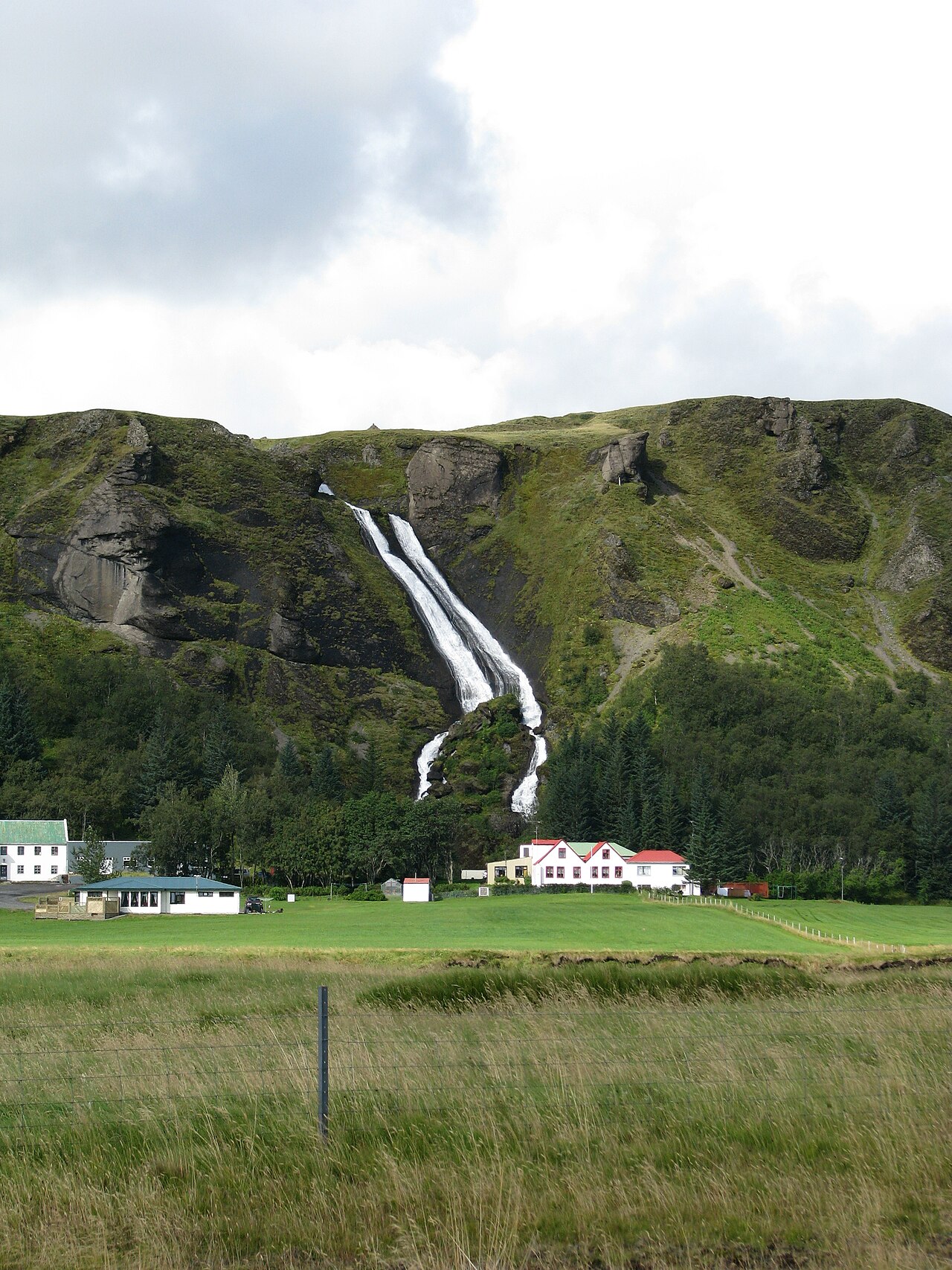
A short 3.5 km loop from Kirkjubæjarklaustur up beside Systrafoss waterfall to the quiet lake of Systravatn.
- Distance
- 3.5 km
- Loop
- Time
- 1–1.5 hours
- Ascent
- 110 m
- Max 140 m
- Difficulty
- Easy
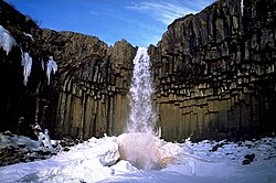
The Systrafoss hike is a short loop above the village of Kirkjubæjarklaustur in South Iceland, climbing beside a two-tiered waterfall to a small lake on the plateau above. It covers 3.5 km in 1–1.5 hours, with 110 m of ascent and a high point of 140 m. It is an easy, worthwhile leg-stretch for anyone driving Route 1 along the south coast.
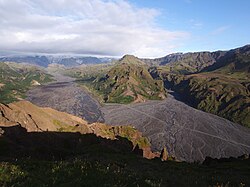
Systrafoss and Systravatn are named after nuns of the convent that stood at Kirkjubæjarklaustur in medieval times; local legend says they bathed in the lake. From the top, you look over the village, the farmland and the wide Skaftá river plain, with lava fields and glaciers beyond. The path is steep near the waterfall but otherwise gentle. Benches at the top invite a rest.
Highlights
- Two-tiered Systrafoss waterfall right above the village
- The calm lake of Systravatn on the plateau
- Views over Kirkjubæjarklaustur and the Skaftá river plain
- Easy stop on Route 1 along the south coast
The route
Up beside Systrafoss
The trail starts in the village and climbs beside Systrafoss on a steep path through birch and grass. This is the steepest part of the loop, and it can be slippery when wet or icy. As you climb, the waterfall and the village are visible below.
Systravatn and the descent
At the top, the path reaches Systravatn, a small, quiet lake on the plateau. From here you can enjoy views over the plain before following the loop back down to the village. The descent is gentler, but take care on loose ground.
Getting to the trailhead
Kirkjubæjarklaustur lies on Route 1, roughly 4 hours' drive from Reykjavík and about an hour east of Vík. The trail starts in the village near the waterfall, with parking nearby. Long-distance buses along the south coast have stopped in the village in summer; check current schedules.
Where to stay
Kirkjubæjarklaustur has a hotel, guesthouses and a campsite, plus a supermarket, petrol station and swimming pool. It is a convenient overnight stop between Vík and Skaftafell. Book ahead in summer, as rooms go quickly.
Best time to hike
The walk is possible all year. Summer brings green slopes and long days. In winter the steep path beside the waterfall can be icy, so microspikes help, and daylight is short. Autumn colours in the birch are lovely in September.
Safety
The path beside the waterfall is steep and can be slippery, especially when wet or icy. Keep children close near the falls and the edge of the plateau. Strong winds are common along this part of the south coast. Check the forecast and SafeTravel.is, and call 112 in an emergency.
Plan & book
Book your Kirkjubæjarklaustur hike
 Camping
South Iceland Campsites
Campsites from Þakgil to Vík and Skógar.
Tjalda.is directory
Guided tourSouth Coast Tours
Seljalandsfoss, Skógafoss, Vík and the glacier lagoon. Multi-day versions reach Skaftafell.
Licensed Icelandic operators1–3 days
Glacier hikeSólheimajökull Glacier Hike
The most accessible glacier hike in Iceland, 2.5 hours from Reykjavík near Vík.
Certified glacier guides3 hours (or day trip)
Online booking opens soon. Press any button to get notified when it does.
Kirkjubæjarklaustur FAQ
How long is the Systrafoss hike?+
The loop is 3.5 km and takes 1–1.5 hours, with 110 m of ascent.
Is the Systrafoss hike easy?+
Yes. It is short and mostly gentle, though the section beside the waterfall is steep and can be slippery.
Can you hike to Systrafoss in winter?+
Yes, but the steep path can be icy. Bring microspikes and check conditions before setting out.
Hike it with a private guide
Guided trips with a licensed Icelandic guide, including transport and huts.
Private guide requests are coming soon
We are lining up licensed local guides. Sign up and we will let you know as soon as you can request a tailored quote.