Þakgil Red Trail
Þakgil
A steep loop over Mælifell with views to the Mýrdalsjökull ice cap, from a cave-shaded campsite.
- Distance
- 12 km
- Loop
- Time
- 4–5 hours
- Ascent
- 730 m
- Max 640 m
- Difficulty
- Challenging
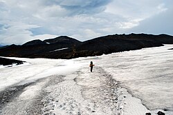
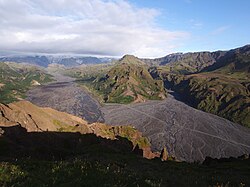
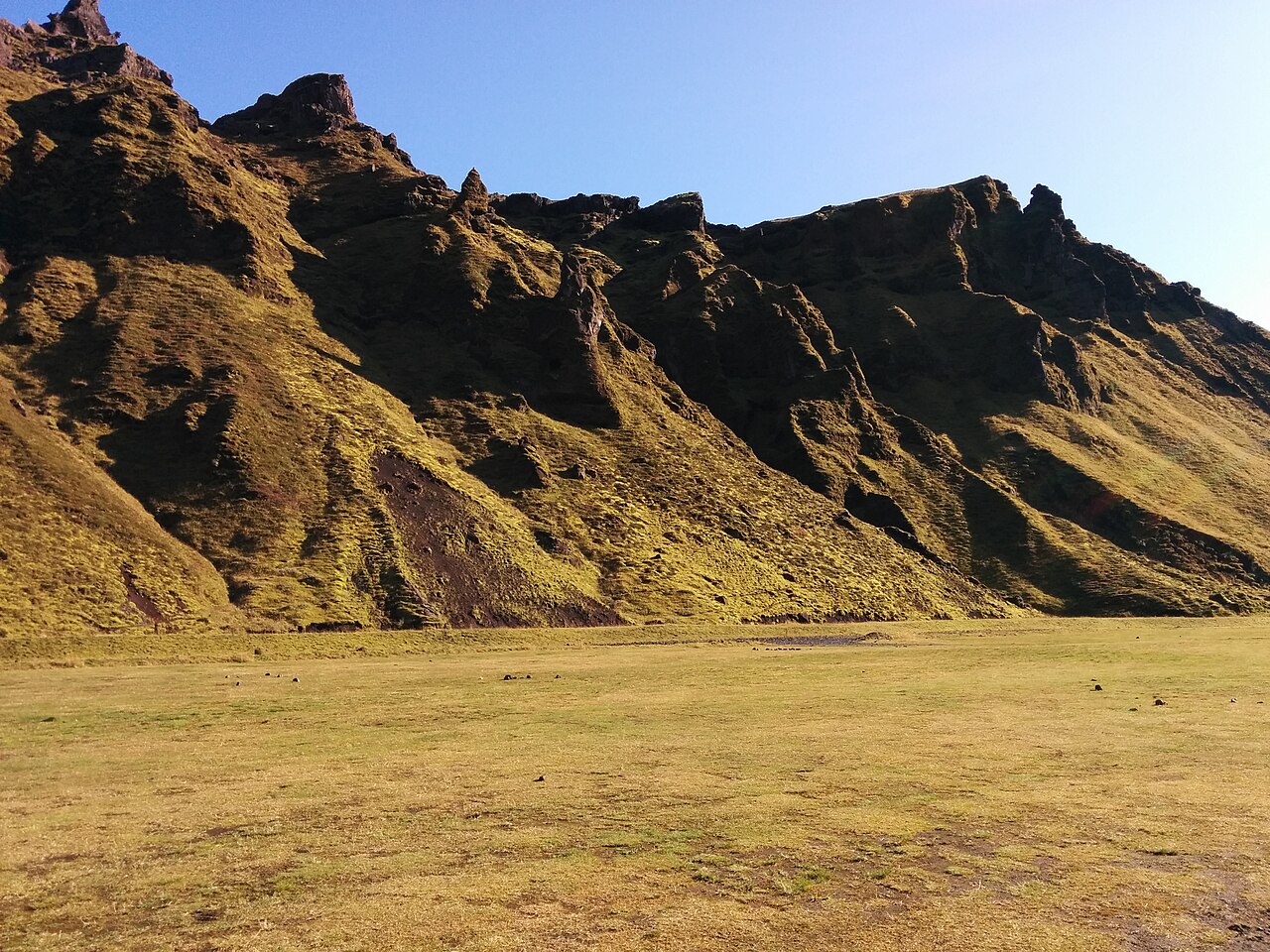
The Þakgil Red Trail is one of the best-kept hiking secrets in south Iceland. Þakgil is a remote campsite tucked into a narrow canyon in the mountains northeast of Vík, below the Mýrdalsjökull ice cap. The red-marked loop climbs from the campsite over the summit of Mælifell (642 m), with views over deep canyons, strange palagonite rock formations and the Mýrdalsjökull ice cap.
The loop is about 12 km with roughly 730 m of ascent and takes four to five hours; guidebooks quote up to 14 km depending on detours. It starts at the Þakgil campsite, heads south-west along a track, climbs steeply over Mælifell and returns along the high ground to the north. It is the hardest of the marked trails at Þakgil, with steep, exposed sections and about three unbridged river crossings. The trail is marked with red-tipped posts, though some sections are faint, so a map or GPS track is useful. There are other colour-coded trails from the campsite too.
Þakgil is reached by a long gravel road from the Ring Road and has a unique dining area inside a natural cave. It makes a peaceful base for a few days of hiking away from the crowds of the south coast. The campsite is usually open in summer only. Bring all your supplies, as there is no shop nearby; the closest stores and restaurants are in Vík. In clear weather the evening light on the canyon walls and the distant ice cap is unforgettable, and nights are quiet.
Highlights
- Views of Mýrdalsjökull from the summit of Mælifell
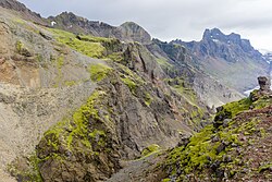
- Deep canyons and strange palagonite formations
- A natural cave used as a dining area at the campsite
- Quiet trails away from the south coast crowds
The route
Þakgil campsite to Mælifell
From the campsite, the trail follows a track south-west before the red-marked path turns north and climbs steeply up Mælifell on loose gravel and palagonite. Expect to ford streams along the way, knee-deep at times and deeper after rain, so bring sandals and poles. Views of the surrounding canyons and the green slopes open up as you gain height.
Over the summit and across the high ground
From the summit of Mælifell the views stretch across Mýrdalsjökull; for a close look at the Kötlujökull glacier tongue, detour onto the yellow trail (Austurafréttur). The landscape is bare and dramatic, with deep canyons on either side. Some sections are faint, so follow the red posts carefully and use a map or GPS in poor visibility.
Descent to the campsite
The trail heads back east along a track across the high ground, then descends towards Þakgil through canyons and along ridges. The descent is steep and loose in places. The final stretch returns to the campsite, where the cave dining area and a hot drink await.
Getting to the trailhead
Þakgil is reached via Route 214 (Kerlingardalsvegur), a gravel road of about 14 km that leaves the Ring Road at Höfðabrekka, 5 km east of Vík. It is not an F-road, has no river crossings and is usually passable for normal cars in summer, but conditions vary, and a higher-clearance vehicle is more comfortable. There is no public transport to Þakgil.
Where to stay
The Þakgil campsite has tent pitches and small cabins, plus the cave dining area. Book ahead for cabins. Vík, about 30 minutes away, has hotels, guesthouses and a campsite.
Best time to hike
The campsite and trails are usually accessible from June to September. July and August are best, with long days and the most settled weather. The area is quiet, even in peak season.
Safety
The trail is steep, loose and exposed in places, and some sections are faint; use a map or GPS in poor visibility. The river crossings rise after rain, so turn back if they look too deep. Weather can change quickly near the ice cap. Check vedur.is before setting out, leave a travel plan at safetravel.is, and call 112 in an emergency.
Plan & book
Book your Þakgil Red Trail hike
 Camping
South Iceland Campsites
Campsites from Þakgil to Vík and Skógar.
Tjalda.is directory
Glacier hikeSólheimajökull Glacier Hike
The most accessible glacier hike in Iceland, 2.5 hours from Reykjavík near Vík.
Certified glacier guides3 hours (or day trip)
Online booking opens soon. Press any button to get notified when it does.
Þakgil Red Trail FAQ
How long is the Þakgil Red Trail?+
The loop is about 12 km with roughly 730 m of ascent over Mælifell and takes 4–5 hours. Guidebooks quote up to 14 km including detours.
How do I get to Þakgil?+
Drive along Route 214 (Kerlingardalsvegur), a gravel road that leaves the Ring Road 5 km east of Vík, about 14 km to the campsite. It is not an F-road and is usually passable for normal cars in summer.
Is there accommodation at Þakgil?+
Yes, the campsite has tent pitches and small cabins. Book ahead for cabins.
When is Þakgil open?+
The campsite is usually open from 1 June to the end of September. Check with the campsite before travelling.
Hike it with a private guide
Guided trips with a licensed Icelandic guide, including transport and huts.
Private guide requests are coming soon
We are lining up licensed local guides. Sign up and we will let you know as soon as you can request a tailored quote.