Ystuvíkurfjall
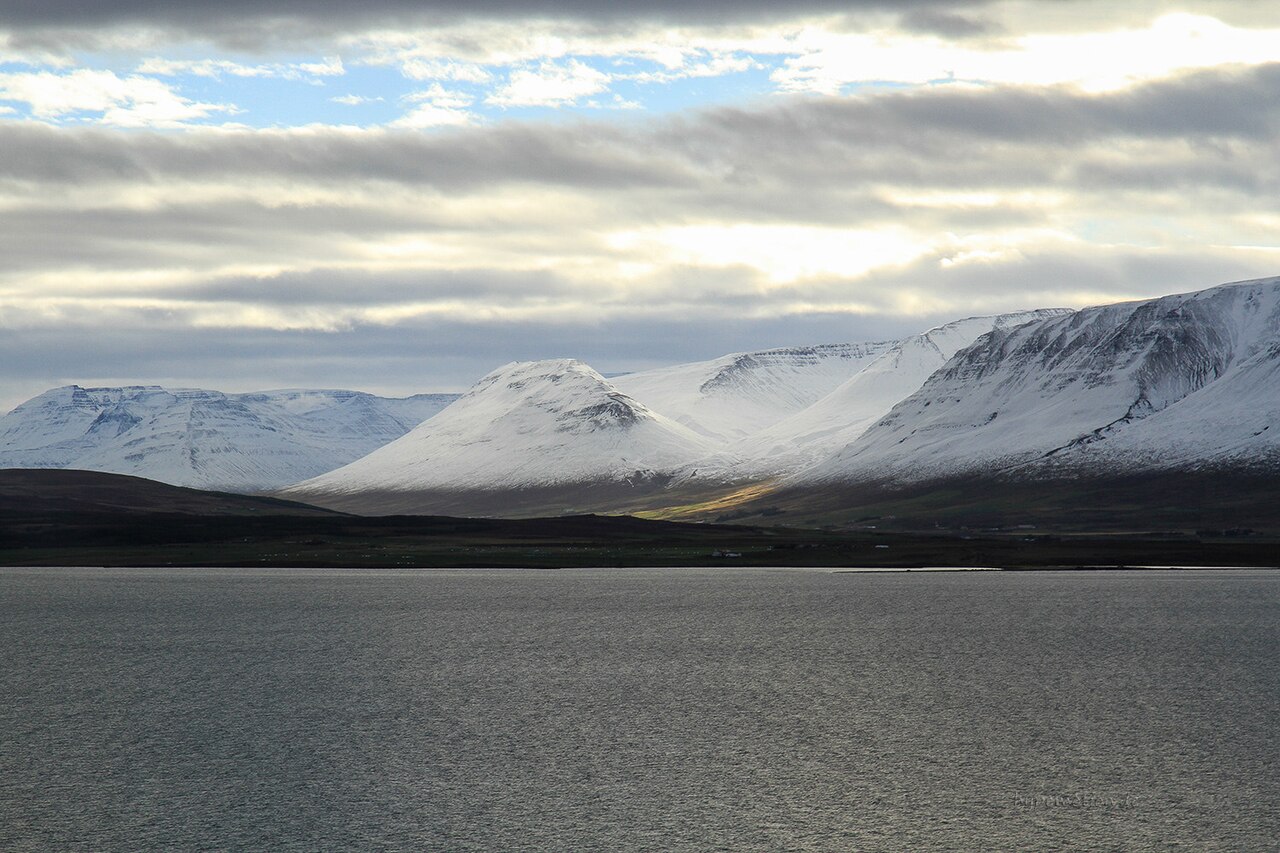
A steady climb on the east shore of Eyjafjörður to a summit at about 550 m with views over the fjord, Akureyri and Hrísey.
- Distance
- 6.5 km
- Out & back
- Time
- 2–2.5 hours
- Ascent
- 250 m
- Max 552 m
- Difficulty
- Moderate
The Ystuvíkurfjall hike climbs a mountain on the east shore of Eyjafjörður, North Iceland, opposite and a little north of Akureyri. The measured route is 6.5 km out and back, takes 2–2.5 hours and involves around 250 m of total ascent to a high point of roughly 550 m. It is a moderate hike with a steady climb, suitable for reasonably fit walkers who want a quieter alternative to the busier peaks near town.
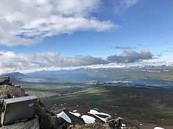
From the top you look straight down Eyjafjörður, Iceland's longest fjord, with Akureyri to the south, the mountains of the Tröllaskagi peninsula across the water, and the island of Hrísey to the north. In summer the slopes are green with heath and berry bushes, and the views over the fjord change with the light through the long evenings. Expect few other hikers, even in high summer.
Highlights
- Wide views over Eyjafjörður and Akureyri
- The Tröllaskagi mountains across the fjord
- Hrísey island to the north
- A quieter hike close to Akureyri
The route
Trailhead to the upper slopes
From the trailhead at the top of the Víkurskarð pass, the route climbs through heath and grassland. The path is steady rather than steep, with views over the fjord opening up as you gain height. Sections can be boggy after rain, and the path may be faint in places, so keep the route on your map.
Summit and return
The final climb to the summit area at around 550 m crosses rockier ground. The top gives a broad panorama over Eyjafjörður, Akureyri and the mountains beyond. Return the same way, taking care on the descent, especially if the ground is wet.
Getting to the trailhead
Ystuvíkurfjall is on the east side of Eyjafjörður, reached from Akureyri by Route 1 east and then road 84 (the old Route 1) to the top of the Víkurskarð pass, at about 325 m, where the trail starts. The trailhead is a short drive from Akureyri. Check the exact start point on the map before setting out. A car is the practical option, as public transport on this side of the fjord is limited.
Where to stay
Akureyri, a short drive away, has the widest choice of hotels, guesthouses, campsites, restaurants and shops in North Iceland. There are also farm stays and guesthouses along the east shore of the fjord and around Grenivík.
Best time to hike
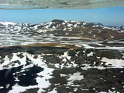
June to September is the best period, when the slopes are usually free of snow and days are long. Late June and July bring the midnight sun, ideal for evening hikes. Snow can linger on upper slopes into early summer, and autumn weather can turn quickly.
Safety
The hike is moderate, but weather in North Iceland can change quickly, with wind, rain or fog on the summit. Carry layers and waterproofs. Paths can be boggy or faint, so use a map or GPS. Snow patches may remain early in the season. In an emergency call 112, and check SafeTravel.is for weather and conditions.
Plan & book
Book your Ystuvíkurfjall hike
 Camping
Ásbyrgi & Vesturdalur Campsites
National park campsites in Jökulsárgljúfur canyon.
Vatnajökull National Park
Booking coming soonGuided tourDiamond Circle & Canyon Tours
Dettifoss, Ásbyrgi and Mývatn from Akureyri or Húsavík.
North Iceland operators1 day
Booking coming soonOnline booking is coming soon. Until then, use this list to see what to plan for this hike.
Ystuvíkurfjall FAQ
How long is the Ystuvíkurfjall hike?+
The measured route is 6.5 km out and back with about 250 m of ascent, taking around 2–2.5 hours.
Is Ystuvíkurfjall hard?+
It is rated moderate. The climb is steady, and reasonably fit walkers will manage it without difficulty.
How far is Ystuvíkurfjall from Akureyri?+
It is a short drive from Akureyri, along Route 1 and then road 84 to the top of the Víkurskarð pass on the east side of Eyjafjörður.
Hike it with a private guide
Guided trips with a licensed Icelandic guide, including transport and huts.
Private guide requests are coming soon
We are lining up licensed local guides. Check back soon to request a tailored quote for your trip.
.jpeg)