Fagradalsfjall Eruption Trail
Fagradalsfjall – Gönguleið A
A 7 km out-and-back over the young lava fields of the 2021–2023 Fagradalsfjall eruptions on the Reykjanes Peninsula.
- Distance
- 7 km
- Out & back
- Time
- 2–2.5 hours
- Ascent
- 180 m
- Max 270 m
- Difficulty
- Moderate
The Fagradalsfjall hike leads to the lava fields left by the first eruptions on the Reykjanes Peninsula in Iceland for around 800 years. This route, known as Trail A, is a 7 km out-and-back taking 2–2.5 hours, with 180 m of ascent and a high point of 270 m. It is a moderate walk on gravel paths, mostly gentle but with some steeper, loose sections.
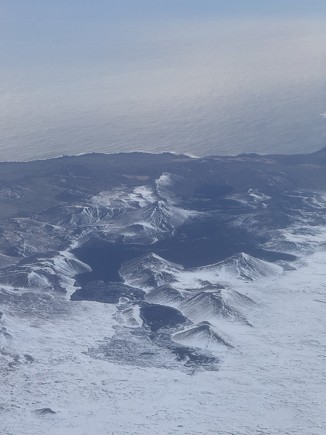
Eruptions here began in March 2021 in Geldingadalir and continued for six months, followed by shorter eruptions in Meradalir in 2022 and near Litli-Hrútur in 2023. Today you walk to viewpoints over the cooled black lava, still fresh and jagged, and the cones that built up during the eruptions. Since late 2023 volcanic activity has shifted to the Sundhnúkur crater row near Grindavík, and access to the Fagradalsfjall area has changed several times.
Highlights
- Fresh, glassy lava from the 2021–2023 eruptions
- Viewpoints over the Geldingadalir valley and its crater cone
- Wide views over the Reykjanes Peninsula and the south coast
- A short, well-made trail close to Keflavík Airport
The route
From the car park onto the hillside
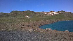
The trail starts from the official parking area off the south coast road and climbs gradually on a wide gravel path. Early on, the ground is open moss and gravel with the coastline behind you. Follow signage closely, as routes here have been rerouted and closed at times because lava covered older paths.
Lava field viewpoints
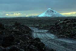
Higher up, the path reaches viewpoints over the dark, rough lava of the 2021 eruption, with the cone in Geldingadalir and the edges of the flows below. On cold days, faint steam may rise from the lava as rain hits it, but there is no active eruption here. Do not walk on the lava: it is sharp and unstable, and can hide cavities.
Return the same way
Turn around at the viewpoint and descend on the same trail. The loose gravel can be slippery on the way down, so poles help. Allow time for photos; the light over the lava and the coast is often best in the evening during summer.
Getting to the trailhead
The trailhead is off Suðurstrandarvegur (Route 427), roughly 1 hour from Reykjavík and about 30 minutes from Keflavík Airport. Paid parking has been in place at the official car parks. Because of eruptions near Grindavík, roads and areas on this part of Reykjanes have been closed at times: always check SafeTravel.is and local police notices for current access before driving out.
Where to stay
Most hikers come on a day trip from Reykjavík or stay near Keflavík Airport. Grindavík, the nearest town, was evacuated in 2023 and has been affected by repeated eruptions, so do not count on services there; check its current status before planning.
Best time to hike
The trail can be walked all year when the area is open. Summer gives long daylight and drier paths, so evening hikes are popular. In winter expect wind, snow and ice, short days and frequent closures in bad weather. Always check current access, which has varied with volcanic activity on the peninsula.
Safety
Never walk on the lava, which is sharp, unstable and can hide hollows. Volcanic gases can collect in low ground on calm days, so stay on marked trails and heed any warnings. Weather on Reykjanes changes fast, with strong wind and horizontal rain. Access depends on the ongoing activity near Grindavík: check SafeTravel.is before you go and call 112 in an emergency.
Plan & book
Book your Fagradalsfjall Eruption Trail hike
 Guided tour
Volcano Hikes on Reykjanes
Guided hikes to the Fagradalsfjall eruption sites and Reykjanes lava fields, often with pickup in Reykjavík.
Licensed Icelandic operators4–7 hours
Gear rentalHiking & Camping Gear Rental in Reykjavík
Rent tents, sleeping bags, stoves, poles and microspikes instead of flying them over.
Reykjavík outfitters
Online booking opens soon. Press any button to get notified when it does.
Fagradalsfjall Eruption Trail FAQ
How long is the Fagradalsfjall hike?+
Trail A is a 7 km out-and-back, taking 2–2.5 hours, with about 180 m of ascent. Other routes in the area are longer and steeper.
Is the Fagradalsfjall volcano still erupting?+
No. The Fagradalsfjall eruptions took place in 2021, 2022 and 2023. Since late 2023 the eruptions on Reykjanes have occurred along the Sundhnúkur crater row near Grindavík, not at Fagradalsfjall. Check SafeTravel.is for the latest situation.
Is the Fagradalsfjall hike hard?+
It is rated moderate. Most of the path is a wide gravel track with a gradual climb, but some sections are steeper and loose, and wind can make it tiring.
Is Fagradalsfjall open to hikers?+
It has been open at times and closed at others, depending on volcanic activity and road access near Grindavík. Check SafeTravel.is and local notices on the day you plan to go.
Hike it with a private guide
Guided trips with a licensed Icelandic guide, including transport and huts.
Private guide requests are coming soon
We are lining up licensed local guides. Sign up and we will let you know as soon as you can request a tailored quote.