Hallormsstaðaháls Moorland
Hallormsstaðaháls
A climb from Iceland's largest forest at Hallormsstaður up onto open moorland above Lagarfljót.
- Distance
- 10 km
- Out & back
- Time
- 3–4 hours
- Ascent
- 450 m
- Max 440 m
- Difficulty
- Moderate
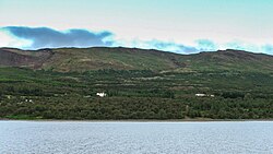
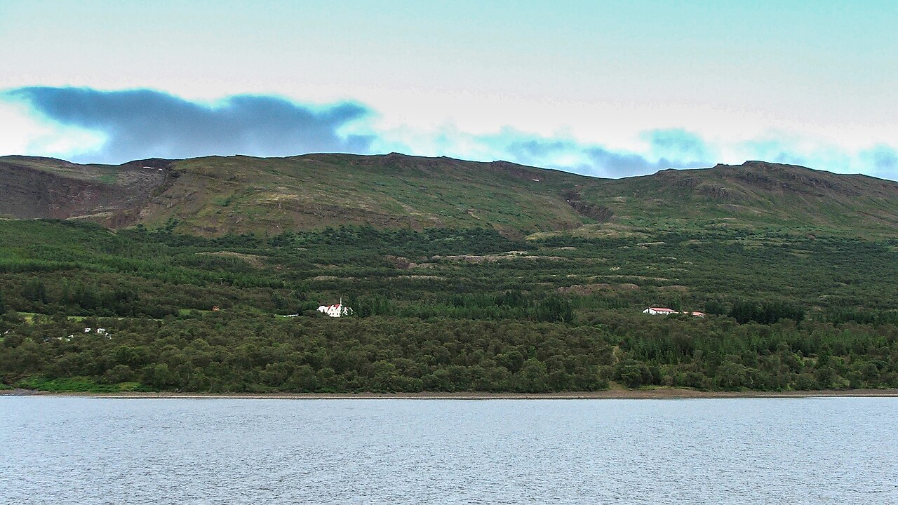
The Hallormsstaðaháls hike climbs from Hallormsstaður, Iceland's largest forest, up onto the open moorland of the ridge above Lagarfljót lake in East Iceland. The out-and-back route is 10 km, takes 3–4 hours and involves around 450 m of ascent, with a highest point of about 440 m. The walk combines shady woodland paths with wide views from the top of the ridge.
Hallormsstaður is something of a surprise in a country known for bare landscapes: birch and planted conifers cover the hillsides, and the forest has an extensive network of marked paths. This route takes the steeper path up through the trees to the heath and lakes on the plateau above, then returns the same way. The full trail is about 7 km and continues on to Geirólfsstaðir. It is moderate rather than easy, with a solid climb, but it fits into half a day.
Highlights
- Walking through Iceland's largest forest
- Open moorland and views from the ridge
- Looking down over the long Lagarfljót lake
- Easy access from the Hallormsstaður area
The route
Through the forest
The route starts in the forest near Hallormsstaður and climbs steadily on woodland paths through birch and planted trees. The gradient is consistent, and the trees offer shelter from wind. As you gain height, gaps in the canopy reveal views back over Lagarfljót.
Moorland and descent
Above the tree line the path crosses open heath on the ridge, with small ponds and wide skies. In clear weather you can see across the lake and towards the mountains beyond. The trail carries on towards Geirólfsstaðir, but this route turns back on the moorland and descends the same way into the forest, steeply in places.
Getting to the trailhead
Hallormsstaður lies on Route 931 along the eastern shore of Lagarfljót, about 25 km south of Egilsstaðir. The trail begins in the forest area near the settlement, where there is parking. Egilsstaðir has an airport with domestic flights and is on Route 1.
Where to stay
Hallormsstaður has a hotel and the popular Atlavík campsite on the lakeshore. Egilsstaðir, a short drive north, offers a wider choice of guesthouses and hotels and is the main service town in East Iceland.
Best time to hike
May to October is the best period. June to August is warm and green, with long days for a relaxed walk. September and October bring autumn colours to the birch, which is especially beautiful in the forest, but days get shorter and colder.
Safety
The main hazards are slippery roots and mud in the forest, and wind or cold on the open moorland above. Bring layers and a waterproof. Paths can be confusing where they intersect, so carry a map or GPS. In an emergency call 112, and check SafeTravel.is for weather warnings before you go.
Plan & book
Book your Hallormsstaðaháls Moorland hike
 Camping
East Iceland Campsites
Campsites around Egilsstaðir and Hallormsstaður forest.
Tjalda.is directory
Guided tourEast Iceland Tours from Egilsstaðir
Stuðlagil, Hengifoss and the eastern fjords with a local guide.
Local operators1 day
Online booking opens soon. Press any button to get notified when it does.
Hallormsstaðaháls Moorland FAQ
How long is the Hallormsstaðaháls hike?+
The out-and-back route to the moorland is 10 km and takes 3–4 hours, with about 450 m of ascent.
Is the Hallormsstaður forest trail hard?+
It is moderate. The climb is steady and steep in places, but the route is short and on clear paths.
Where is Hallormsstaður?+
Hallormsstaður is on the eastern shore of Lagarfljót, about 25 km south of Egilsstaðir in East Iceland.
Hike it with a private guide
Guided trips with a licensed Icelandic guide, including transport and huts.
Private guide requests are coming soon
We are lining up licensed local guides. Sign up and we will let you know as soon as you can request a tailored quote.