Hengifoss Waterfall Hike
Hengifoss
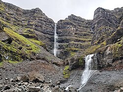
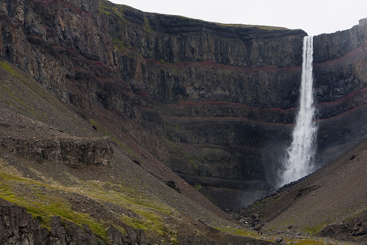
A 128 m waterfall striped with red clay layers, passing basalt-framed Litlanesfoss on the way.
- Distance
- 4.5 km
- Out & back
- Time
- 1.5–2 hours
- Ascent
- 270 m
- Max 300 m
- Difficulty
- Easy
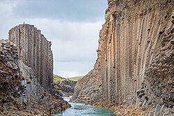
The Hengifoss hike is one of the best short walks in east Iceland. Hengifoss plunges about 128 m into a gorge framed by dark basalt layers striped with bright red clay, laid down between ancient lava flows, making it one of the tallest and most distinctive waterfalls in the country. On the way up you pass Litlanesfoss, a smaller waterfall surrounded by some of the most perfect basalt columns you will see anywhere.
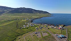
The out-and-back trail is about 4.5 km with around 270 m of ascent and takes one and a half to two hours. It starts from a car park beside Lagarfljót lake in Fljótsdalur, about 35 km from Egilsstaðir. The path climbs steadily, with steps at the start and benches along the way, and is suitable for most reasonably fit walkers.
Hengifoss pairs well with other stops in Fljótsdalur, including Hallormsstaður, Iceland's largest forest, the historic Skriðuklaustur estate and the Snæfellsstofa visitor centre for Vatnajökull National Park. It is a good half-day outing from Egilsstaðir and an easy leg-stretcher if you are driving the Ring Road through the east. Go early in the day in summer, when the car park is quieter and the light on the red clay layers is softer.
Highlights
- A 128 m waterfall striped with red clay layers
- Litlanesfoss framed by tall basalt columns
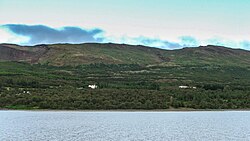
- Views over Lagarfljót lake and Fljótsdalur
- Easy access from Egilsstaðir
The route
Car park to Litlanesfoss
From the car park the trail climbs steps and then a steady path up the hillside beside the Hengifossá river. After about a kilometre you reach Litlanesfoss, framed by tall basalt columns. Views back over Lagarfljót open up as you climb, and benches give convenient rest stops on the steeper parts.
Litlanesfoss to Hengifoss
The path continues up along the gorge rim, gradually revealing Hengifoss and its striking red-and-black layered walls. The trail ends at a viewpoint across from the waterfall. Going further into the gorge towards the base is not recommended because of rockfall and slippery ground, especially in spring. Return the same way.
Getting to the trailhead
Hengifoss is in Fljótsdalur, about 35 km southwest of Egilsstaðir. Drive along Lagarfljót on Route 931 to the signposted car park near the head of the lake. The roads are paved or good gravel and fine for a normal car. There is a parking fee of about 1,000 ISK, paid online via checkit.is. There is no regular public transport to the trailhead.
Where to stay
Egilsstaðir has hotels, guesthouses and a campsite. The forest at Hallormsstaður has a campsite and a hotel, and there are farm stays and guesthouses throughout Fljótsdalur. Wild camping is not permitted at the trailhead.
Best time to hike
Late spring to autumn is the best period, when the trail is snow-free. The waterfall flows strongest in early summer with snowmelt. Autumn brings colourful birch woods. In winter the path can be icy and the waterfall partly frozen; microspikes are essential then.
Safety
Stay on the marked trail and behind barriers at viewpoints; the gorge edges are steep. Rockfall is a hazard near the base of the waterfall, so do not go beyond the end of the trail. The path is slippery when wet or icy. Check vedur.is and call 112 in an emergency.
Plan & book
Book your Hengifoss Waterfall Hike hike
 Camping
East Iceland Campsites
Campsites around Egilsstaðir and Hallormsstaður forest.
Tjalda.is directory
Guided tourEast Iceland Tours from Egilsstaðir
Stuðlagil, Hengifoss and the eastern fjords with a local guide.
Local operators1 day
Online booking opens soon. Press any button to get notified when it does.
Hengifoss Waterfall Hike FAQ
How long is the Hengifoss hike?+
The out-and-back trail is about 4.5 km with around 270 m of ascent and takes 1.5–2 hours.
How tall is Hengifoss?+
Hengifoss is about 128 m tall, one of the tallest waterfalls in Iceland.
Is the Hengifoss hike difficult?+
No. It is a steady climb on a good path with steps at the start and benches along the way. Most visitors, including children, manage it.
Can I visit Hengifoss in winter?+
Yes, but the path can be icy and snowy. Wear microspikes and check conditions before setting out.
Hike it with a private guide
Guided trips with a licensed Icelandic guide, including transport and huts.
Private guide requests are coming soon
We are lining up licensed local guides. Sign up and we will let you know as soon as you can request a tailored quote.