Snæfell
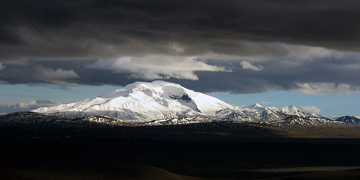
A tough highland climb on Snæfell, Iceland's highest mountain outside the ice caps, over scree and snow to about 1,833 m.
- Distance
- 15 km
- Out & back
- Time
- 5–7 hours
- Ascent
- 1100 m
- Max 1833 m
- Difficulty
- Challenging
The Snæfell hike is a challenging highland climb on the tallest mountain in Iceland outside the glaciers, rising alone above the plateau north of Vatnajökull in East Iceland. The measured route is 15 km out and back, takes 5–7 hours and involves about 1,100 m of total ascent to the summit at roughly 1,833 m. The final slopes usually hold snow and ice.
Snæfell is an old volcano, and its broad, pale slopes are visible from far across the eastern highlands. The approach crosses gravel and scree, and higher up the route usually runs onto snowfields. On a clear day the views over Vatnajökull, the Kárahnjúkar area and the eastern plateau are huge. Reindeer are often seen on the surrounding moorland. Treat it as a serious mountain day rather than a casual walk.
Highlights
- Climbing Iceland's highest peak outside the ice caps
- Views over Vatnajökull and the eastern highlands
- Reindeer often seen on the surrounding plateau
- A remote, little-visited mountain environment
The route
Trailhead to the lower slopes
From the trailhead at Snæfellsskáli, the national park hut, the route crosses gravel and scree toward the western slopes. The ground is open and the mountain dominates the view. Markers are limited, so navigation needs care in poor visibility. The gradient increases steadily as you climb.
Upper slopes and snowfields
Higher up, the route crosses scree and snowfields, which can be hard and icy, especially early in the day. Crampons and an ice axe are recommended for the snow and ice near the top. The wind is often strong and temperatures drop quickly. The route reaches the summit at about 1,833 m.
Descent
Return the same way. Take care on snow and loose scree, where a slip can lead to a fast slide. Fog can settle suddenly on the upper slopes, so use your GPS track. Allow plenty of time and energy for the long walk back to the trailhead.
Getting to the trailhead
Snæfell is in the eastern part of Vatnajökull National Park. The trailhead is reached from Fljótsdalur on road 910, then on the highland road F909 (Snæfellsleið) to Snæfellsskáli, the national park hut. A 4x4 is required, and F909 opens only in summer. Check road.is and the national park for access and conditions before setting out.
Where to stay
Snæfellsskáli, the national park hut and ranger station at the base of Snæfell, is open in summer; check availability and booking with the national park. Otherwise, Egilsstaðir and the Fljótsdalur valley have hotels, guesthouses and campsites within driving distance.
Best time to hike
July to September is the season, when the highland road is usually open and the lower slopes are clear. Snow remains on the upper mountain all summer. Weather is changeable and often cloudy, so wait for a stable, clear forecast before making the climb.
Safety
Snæfell is high and exposed, with rapid weather changes, strong winds, low temperatures and fog. Snow slopes can be icy; carry and know how to use traction devices and an ice axe if needed. Navigation skills are essential. Notify the wardens at Snæfellsskáli before you set off, leave a travel plan with SafeTravel.is and carry warm, waterproof layers and food. In an emergency call 112.
Plan & book
Book your Snæfell hike
 Camping
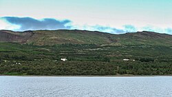
East Iceland Campsites
Campsites around Egilsstaðir and Hallormsstaður forest.
Tjalda.is directory
Booking coming soonGuided tourEast Iceland Tours from Egilsstaðir
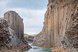
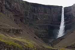
Stuðlagil, Hengifoss and the eastern fjords with a local guide.
Local operators1 day
Booking coming soonOnline booking is coming soon. Until then, use this list to see what to plan for this hike.
Snæfell FAQ
How long is the Snæfell hike?+
The measured route is 15 km out and back with about 1,100 m of ascent, taking around 5–7 hours.
Is Snæfell hard to climb?+
Yes, it is rated challenging. The route is high, exposed and often snow-covered, and requires navigation skills and suitable gear.
Do I need a 4x4 to get to Snæfell?+
Yes. The trailhead is reached via highland roads where 4x4 vehicles are required, and access is usually only possible in summer.
Do I need crampons for Snæfell?+
Often, yes. The upper slopes usually hold snow and ice through summer, so crampons and an ice axe are recommended.
Hike it with a private guide
Guided trips with a licensed Icelandic guide, including transport and huts.
Private guide requests are coming soon
We are lining up licensed local guides. Check back soon to request a tailored quote for your trip.